Advanced Mapping Planning with Litchi Course.
This additional 1 day and ‘bolt-on’ training course to our industry-leading ‘Drone Aerial Imaging Masterclass for Mapping, Surveying and Photogrammetry Course’ is aimed for those UAV operators that seek further full planning controls over their UAV survey flights and aerial imaging acquisitions by advancing from the standard mission planning apps to create semi-autonomous and terrain-following UAV flights for the collection of consistent aerial imaging FoVs and GSDs.
Primarily applied for automated creative aerial filming with drones, ‘Litchi’ (and ‘Litchi Pilot’) is often overlooked as a credible mapping planning alternative to dedicated mapping planning apps and this short online course neatly bridges the gap between those basic flight planning apps (‘DroneDeploy’, ‘Pix4DCapture’, ‘DJI GS Pro’…) and the more complex UAV flight mission planning software such as ‘UgCS’ and Ardupilot’s ‘Mission Planner.’
Another benefit is the utilisation of sub-250g drones towards mapping, surveying and photogrammetry applications with either ‘Litchi’ or ‘Litchi Pilot’ where their use within environments would be more appropriate and where larger drones would be prohibited.
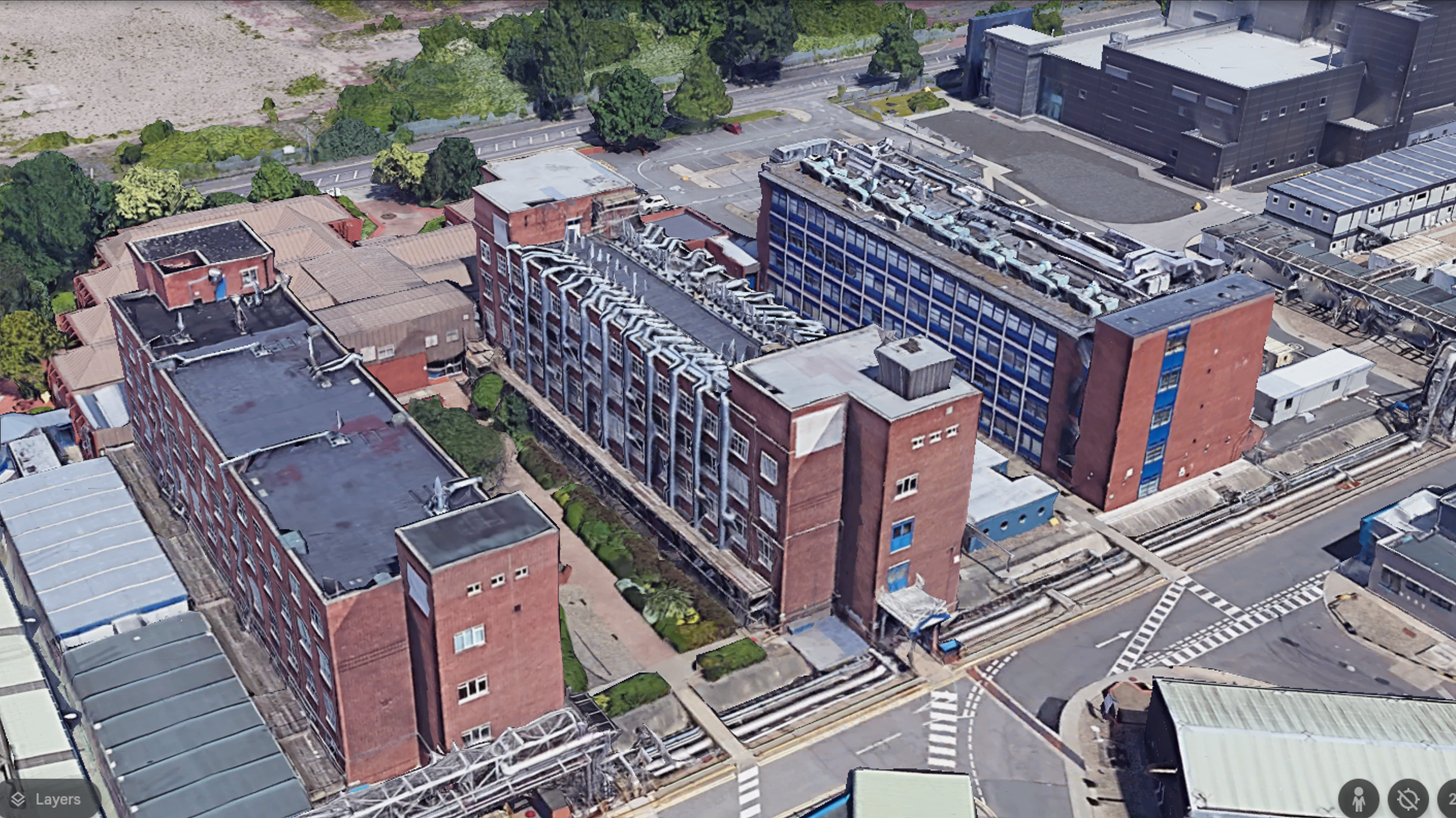
Furthermore, it can also be applied towards the accurate planning and acquisition of high-resolution imaging towards structural/facade mapping and for forensic structural imagery analysis and reporting purposes.
This course instructed on a one-to-one basis and is delivered in-person via online video conferencing means during one day’s (approximately 8 hours) training duration by an accredited tutor in its subject matter who has decades of planning knowledge and uses with various civil as well as military mission planning and imaging data acquisition applications.
Training Topics (Day 1).
Part 1 (AM) - Understanding the Fundamentals of Aerial Imaging.
Digital Camera and Imaging Basics.
Components of an Aerial Sensor - The Detector Array.
Lenses and Focal Lengths.
Understanding aerial imagery Field of View (FoV).
Spatial Resolution - Ground Sampling Distance (GSD).
How to calculate imagery FoV and GSD with mathematical formulae.
What can affect FoV and GSD on nadir aerial imagery.
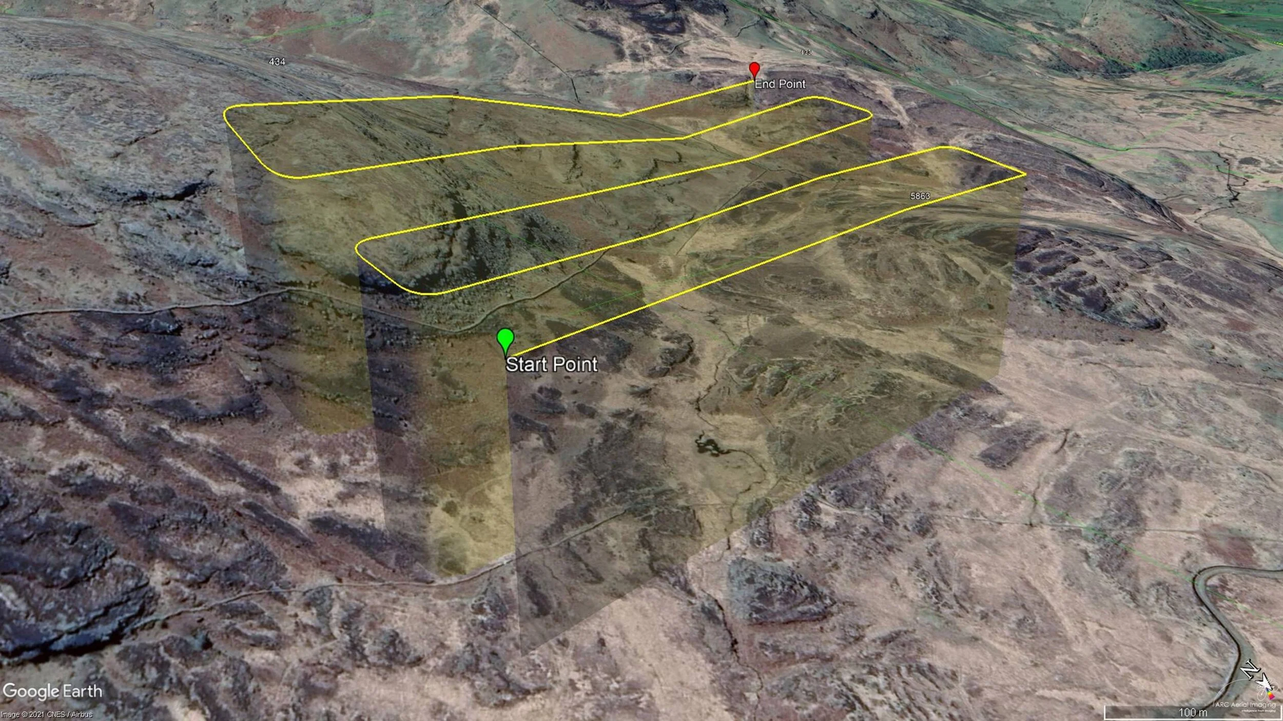
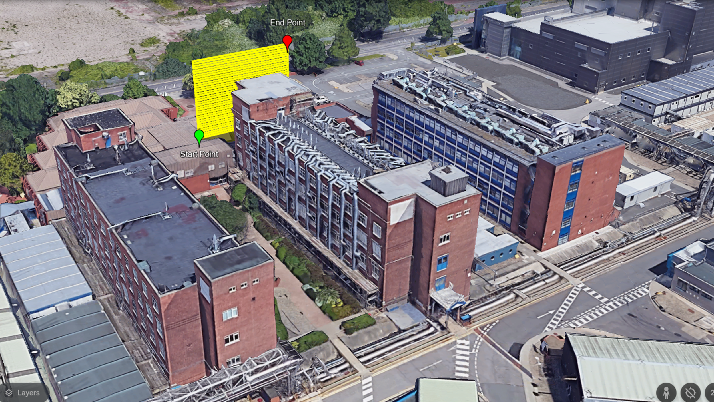
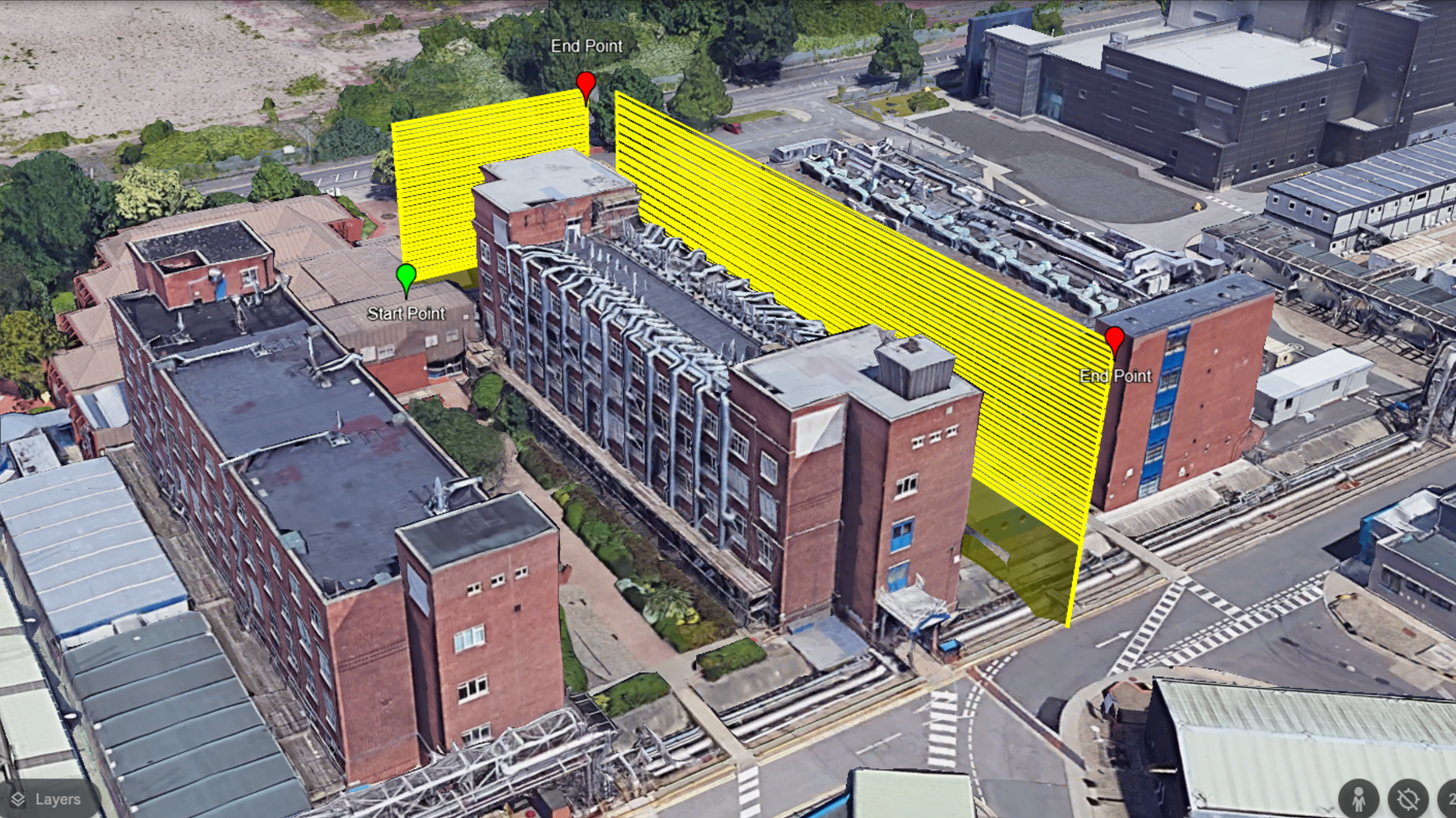
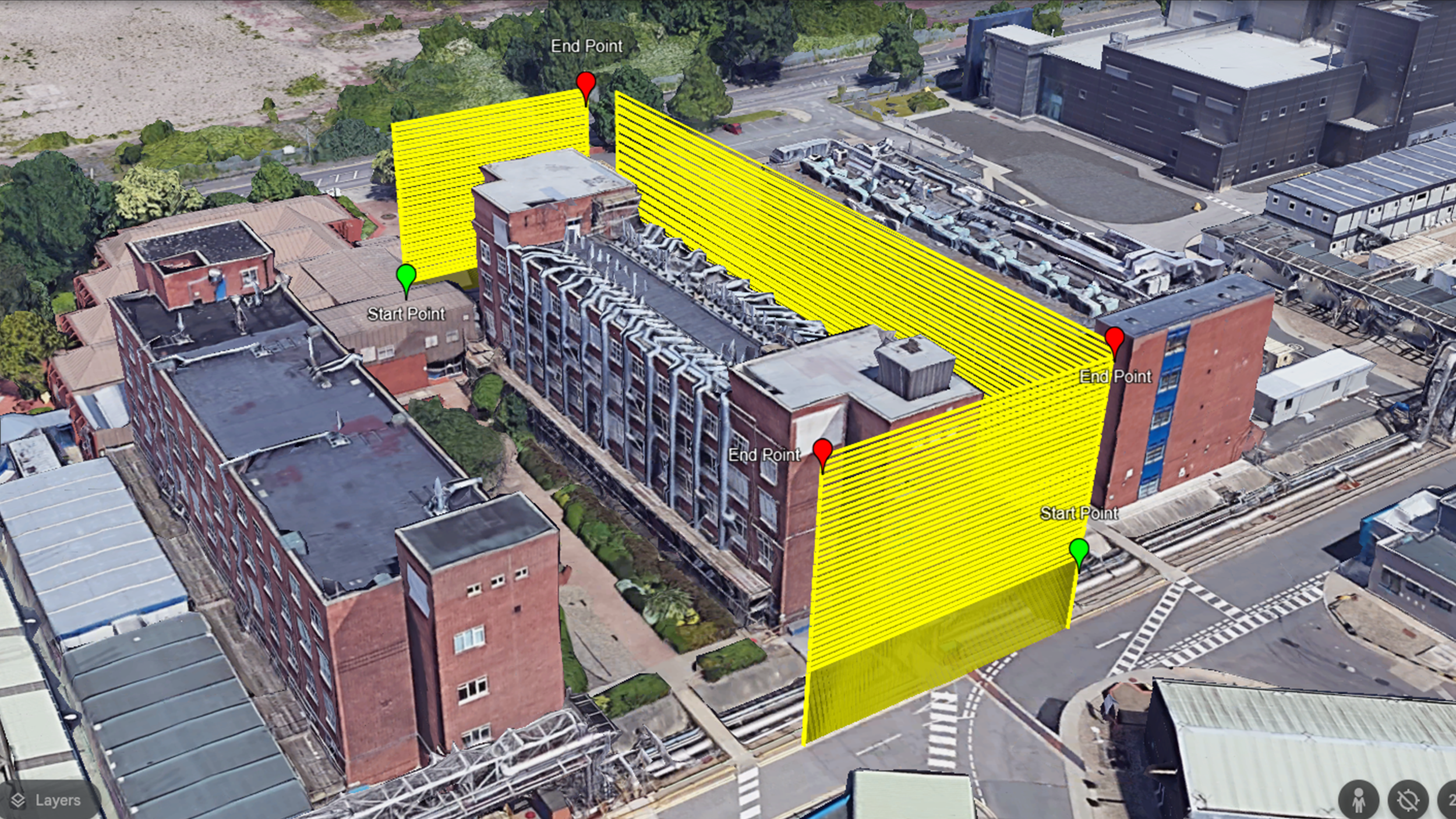
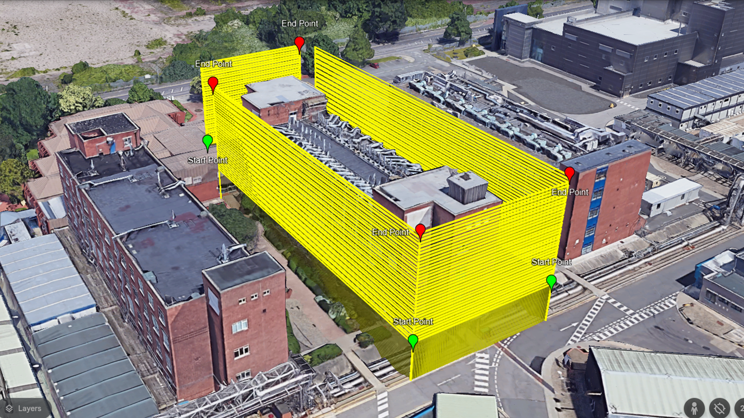
Terrain Following with Litchi for consistent imagery FoV and GSD.
Improving aerial imaging GSD.
Part 2 (AM) - UAV flight planning and imagery acquisition considerations.
The basics of Photogrammetry – Aerial Stereoscopy and Parallax.
Photogrammetric principles – what it needs from digital aerial imaging.
How photogrammetry works – understanding the ‘Data Pipeline’.
Limitations of photogrammetry.
UAV Altitudes and Flight Track Speeds;
Imagery overlaps for establishing correct collection leg distancing in Litchi;
Applying the correct camera/sensor settings for imagery capturing.
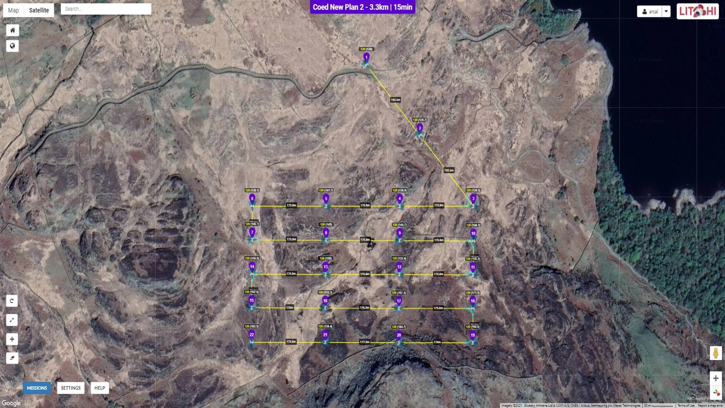
Part 3 (PM) - Planning a Mission with Litchi.
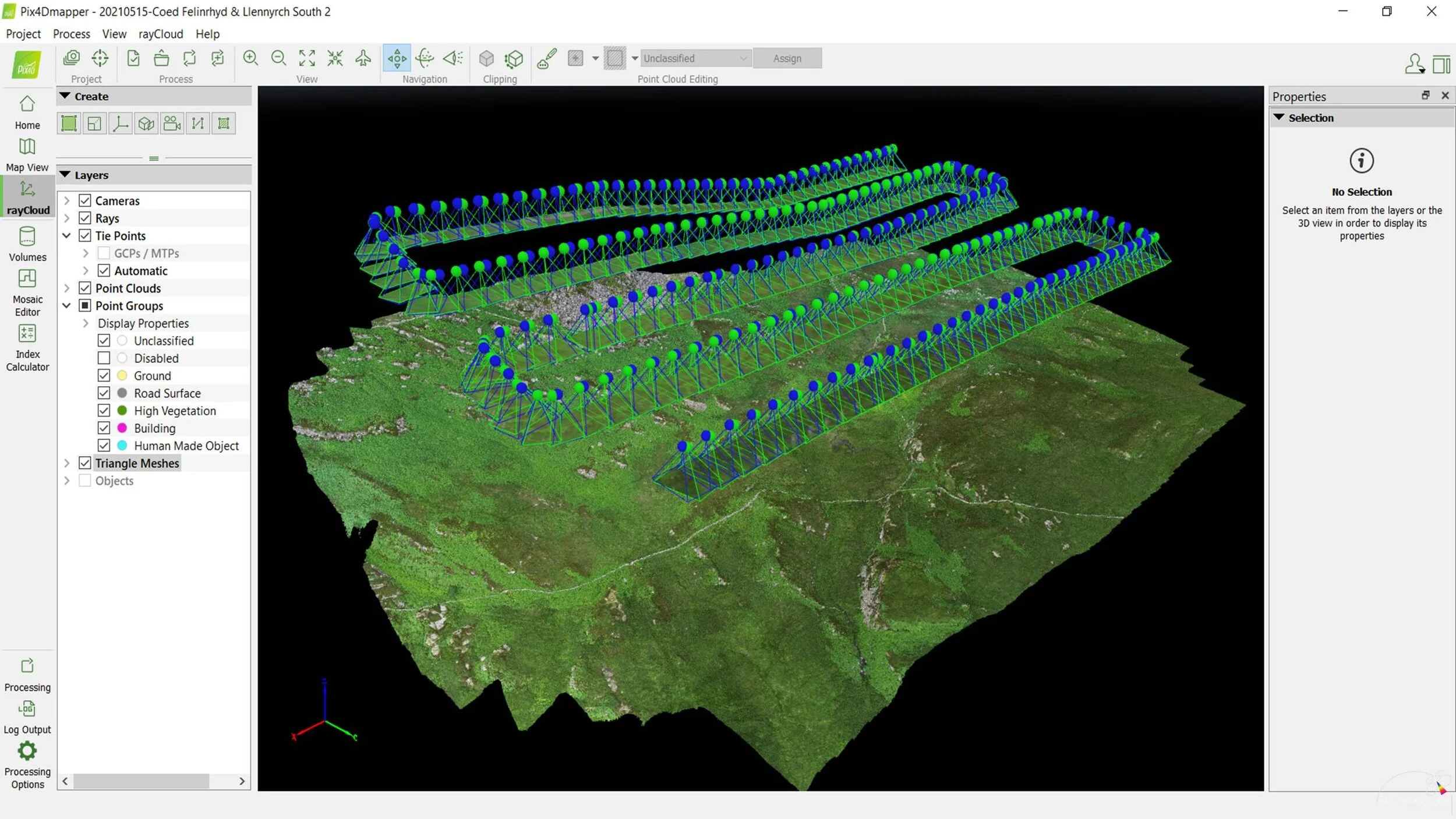
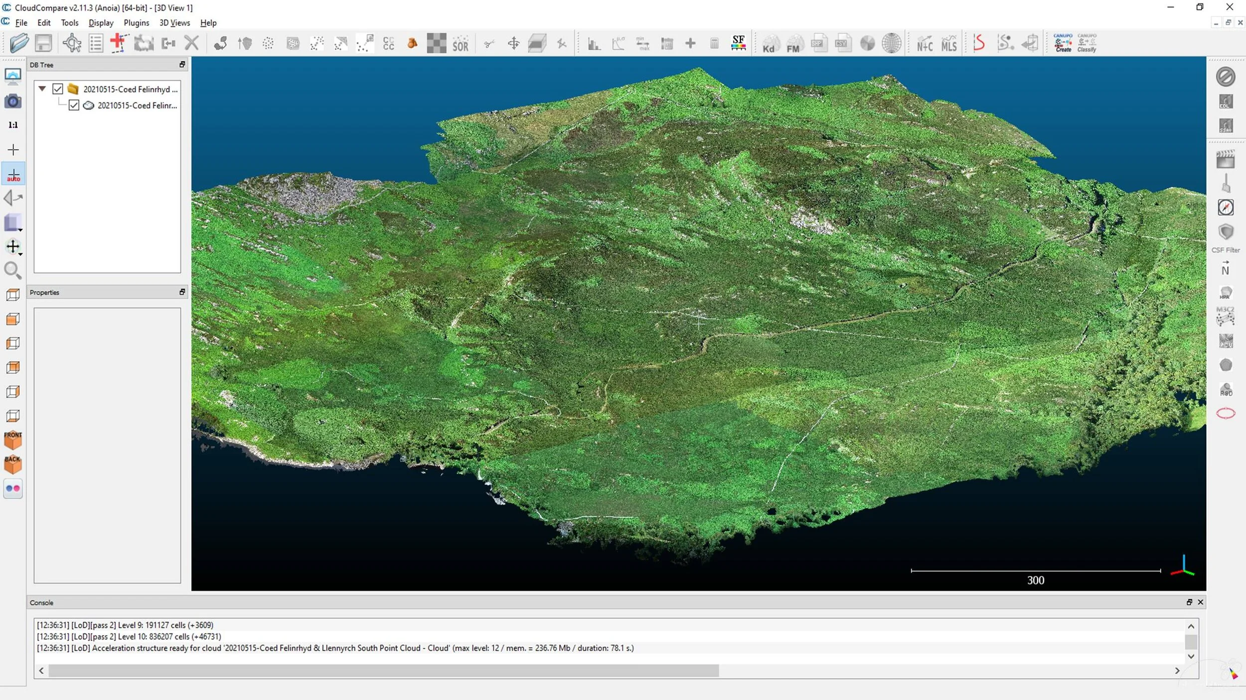
Overview of the Litchi desktop planning interface.
Understanding and applying its General and Mission settings in Litchi.
The Litchi app - setting sensor capturing settings.
Timed interval exposures/UAV flight track speeds/imagery overlaps.
Step-by-step walkthrough with the instructor to create a mapping planning mission.
Saving missions.
Viewing mission flight plans in Google Earth Pro for pre-flight assessments.
Exporting/sharing/opening mission flight plans with others.
Course Applicable Drones
DJI Mini
DJI Mini SE (Version 1 only)
DJI Mini 2
DJI Mini 3 (with ‘Litchi Pilot’ - Android devices only)
DJI Mini 3 Pro (with ‘Litchi Pilot’ - Android devices only)
DJI Mini 4 Pro (with ‘Litchi Pilot’ - Android devices only)
DJI Mavic Air
DJI Mavic Air 2
DJI Mavic Air 2S
DJI Inspire 1 (X3 and X5 cameras)
DJI Inspire 2 (X4S and X5S cameras)
DJI Matrice 4 (with ‘Litchi Pilot’ - Android devices only)
DJI Phantom 3 Standard
DJI Phantom 3 Advanced
DJI Phantom 3 Pro
DJI Phantom 4 Standard
DJI Phantom 4 Advanced
DJI Phantom 4 Pro
DJI Phantom 4 Pro V2
DJI Mavic Pro
DJI Mavic 2 Pro
DJI Mavic 2 Zoom
DJI Spark
Based on that the SDK (Software Development Kit) has not been released for the DJI Air 3, the DJI Mavic 3 Pro, Classic and Cine, the DJI Mavic 4 Pro, these drones will not be compatible to use with ‘Litchi’ or ‘Litchi Pilot’.
Price to remotely attend - only £195.
The course's LOW ONLINE fee is ALSO inclusive of RECEIVING:
Drone Mapping Mission Planning Spreadsheets;
Mission planning software (Windows only).
Course Training Booking Form
Booking is acceptance of our Course Terms and Conditions