
One of the UK’s longest established and specialised UAV-operating services provider.
Based in the North East of England and approved by the CAA to operate commercial drones under 25kg since 2015, ARC Aerial Imaging offers high-resolution drone imaging, geospatial processing, image analysis, consulting and several industry-leading UAS business development training courses in commercial aerial mapping, surveying and photogrammetry.
Drones as a Service
We offer comprehensive Drones-as-a-Service solutions to assist clients in avoiding the substantial costs, complexities, and risks associated with purchasing, certifying and operating unmanned aerial vehicles (UAVs).
Data as a Service
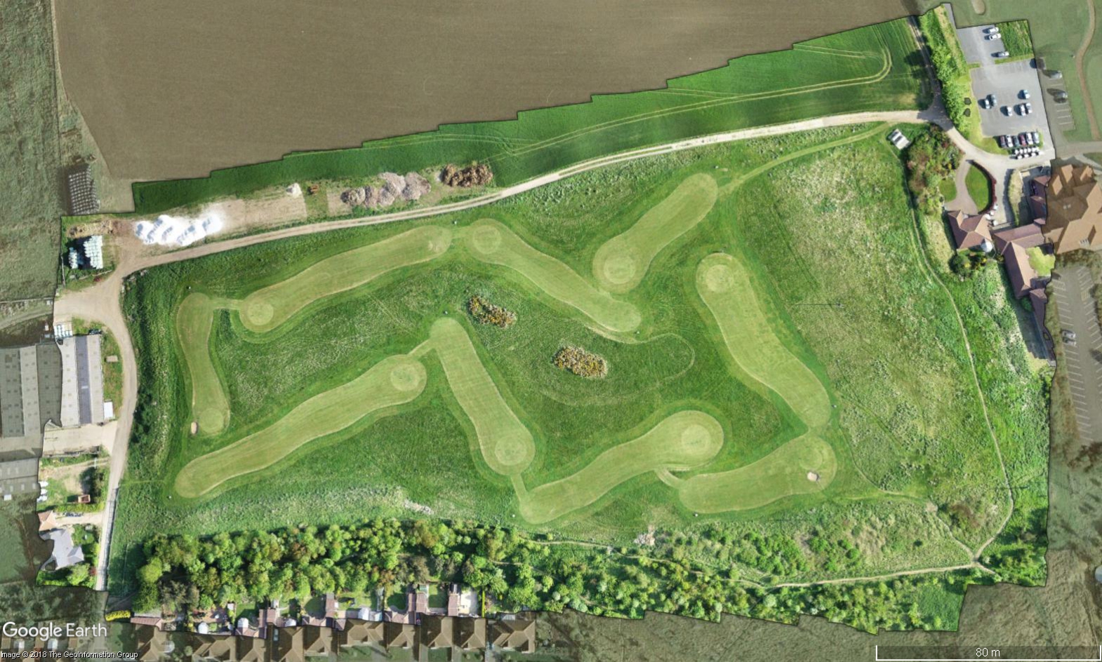
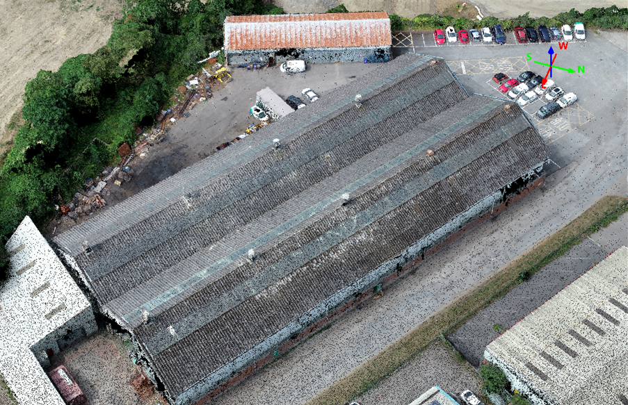
We provide Data-as-a-Service solutions to help clients access and exploit UAV-derived geospatial data through accurate semi-autonomous acquisition flights enabling clients to make data-driven decisions in effective and efficient ways.
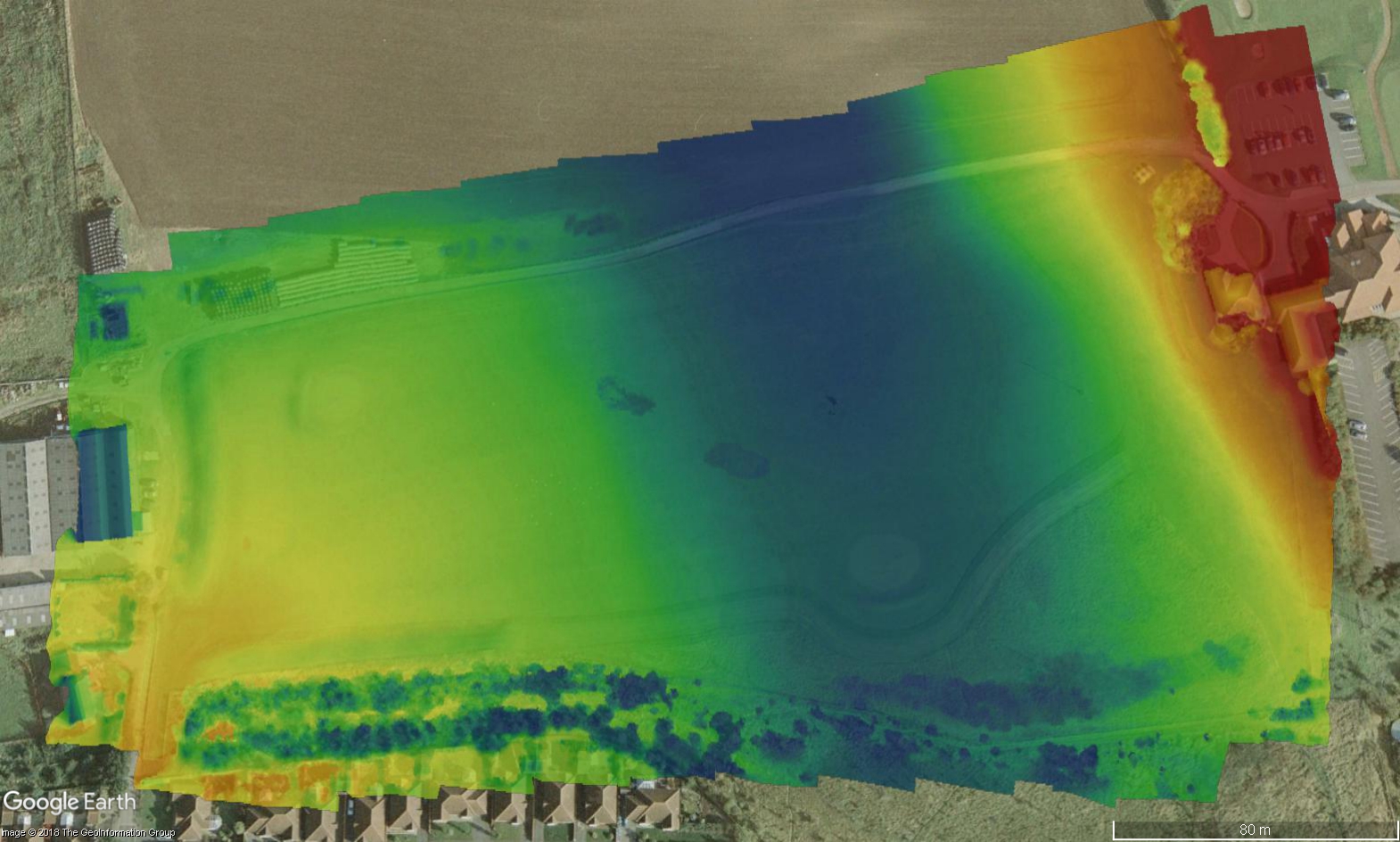
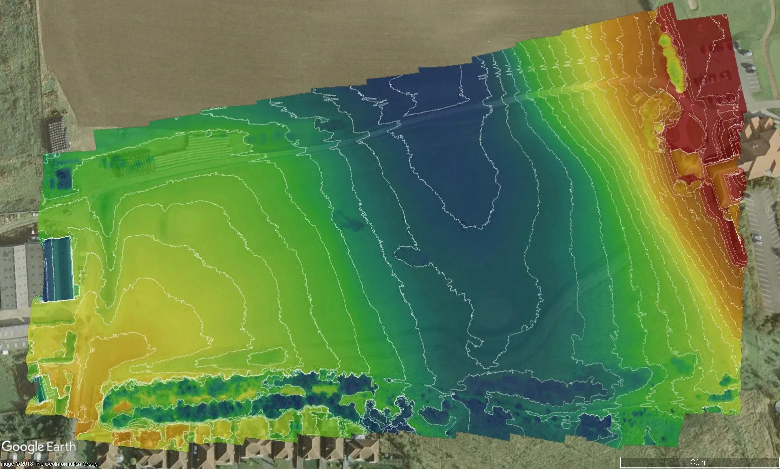
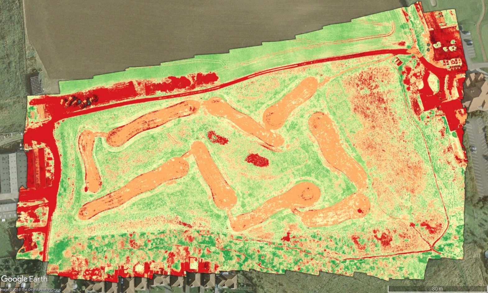
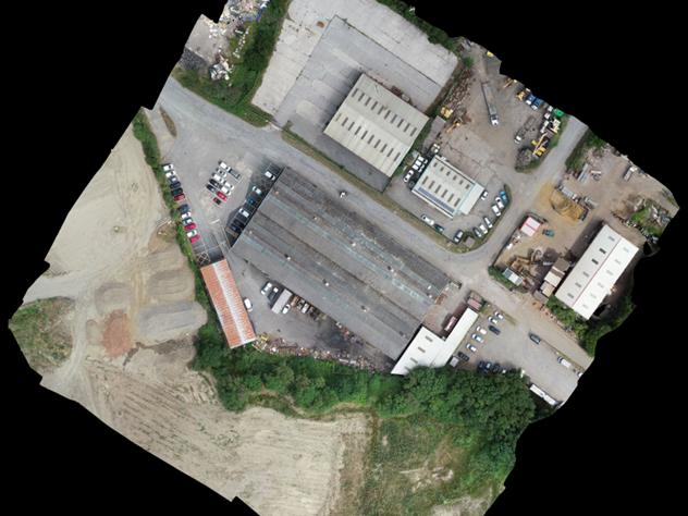
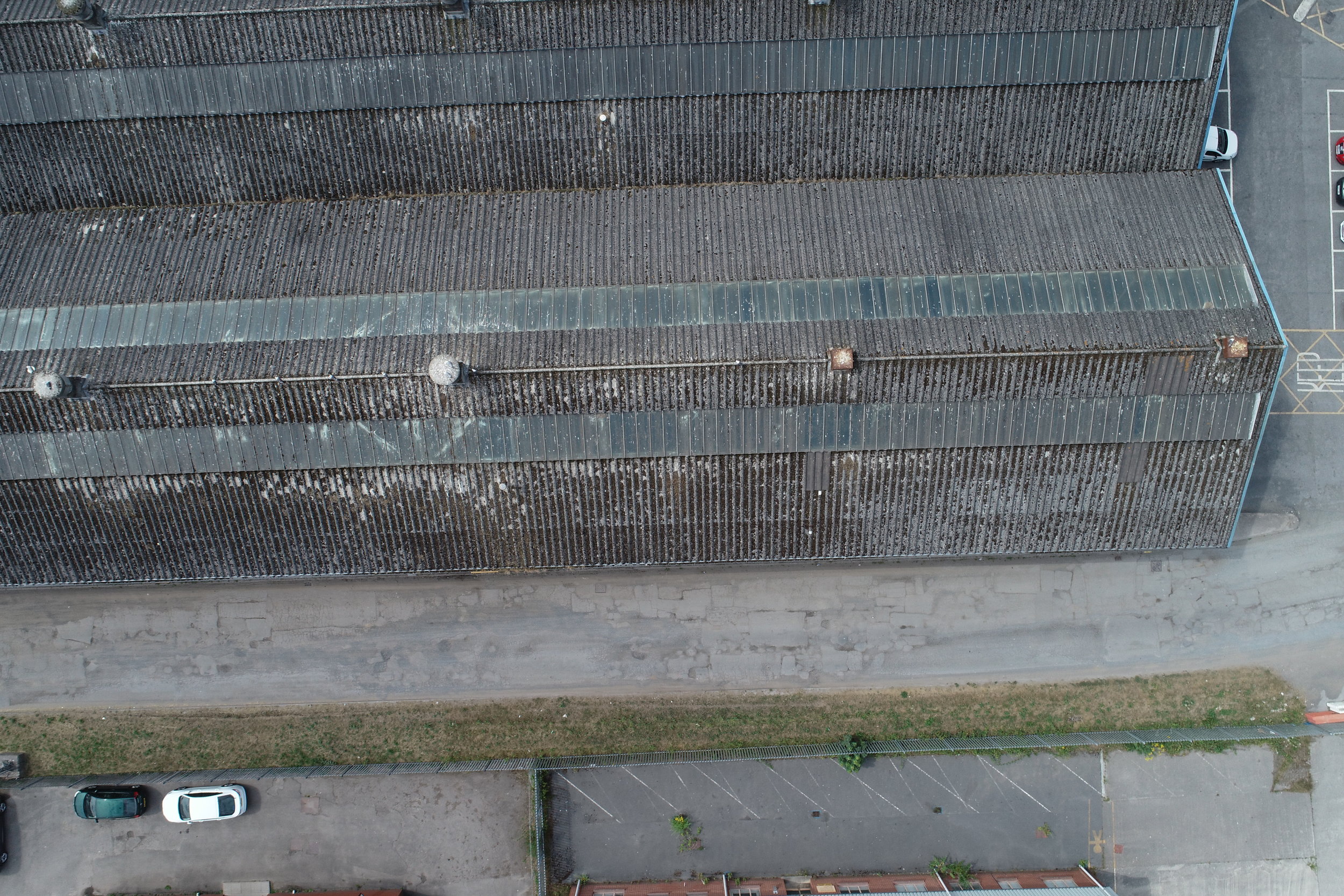
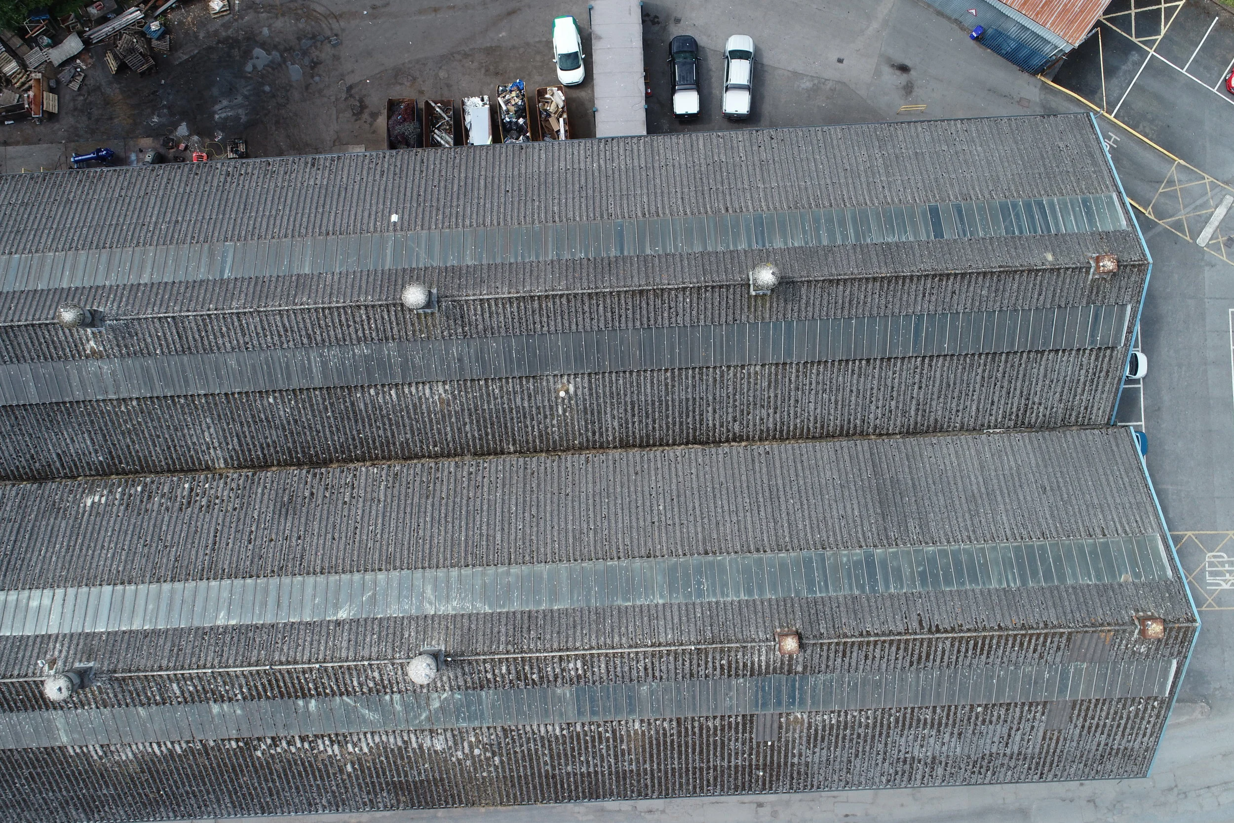
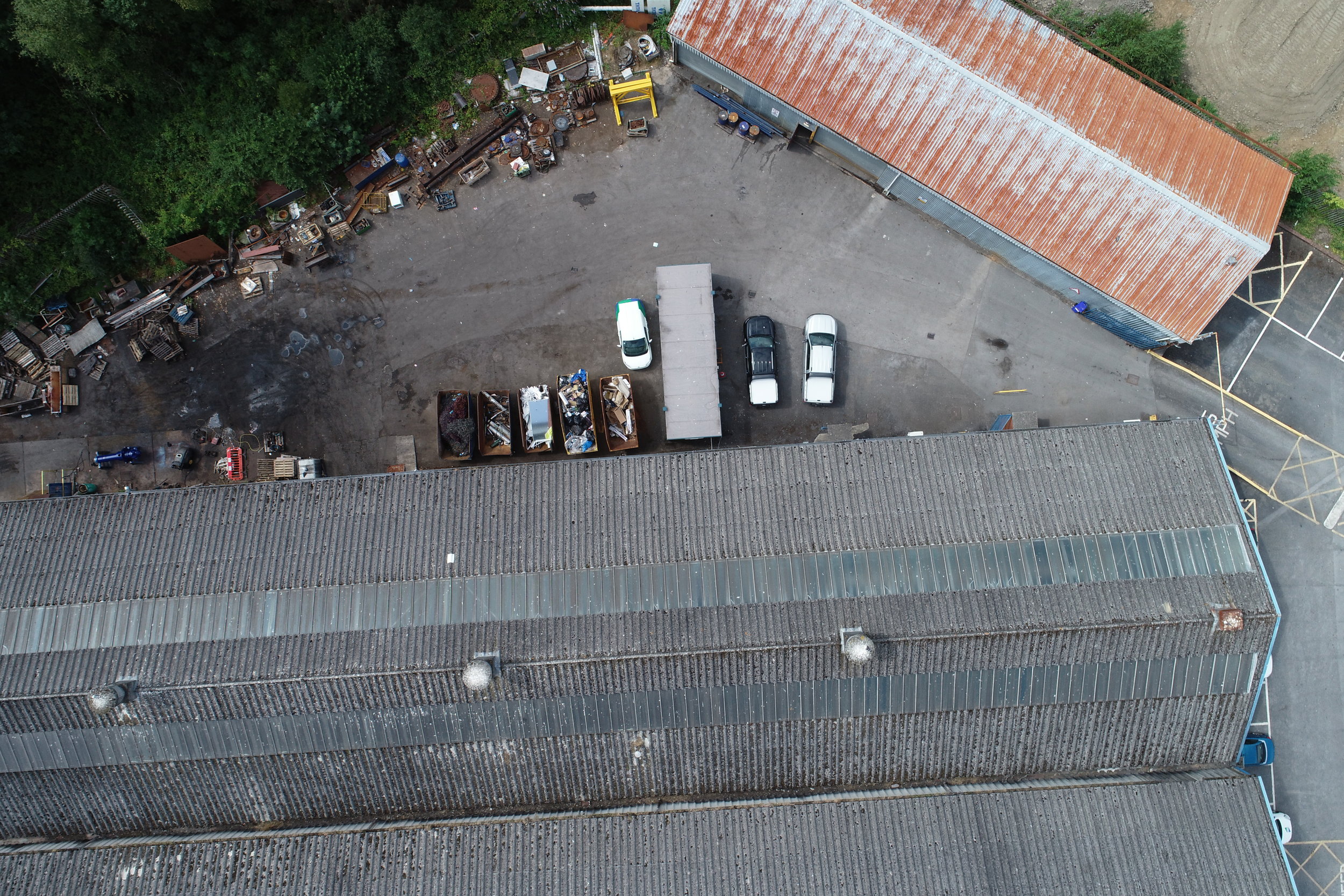
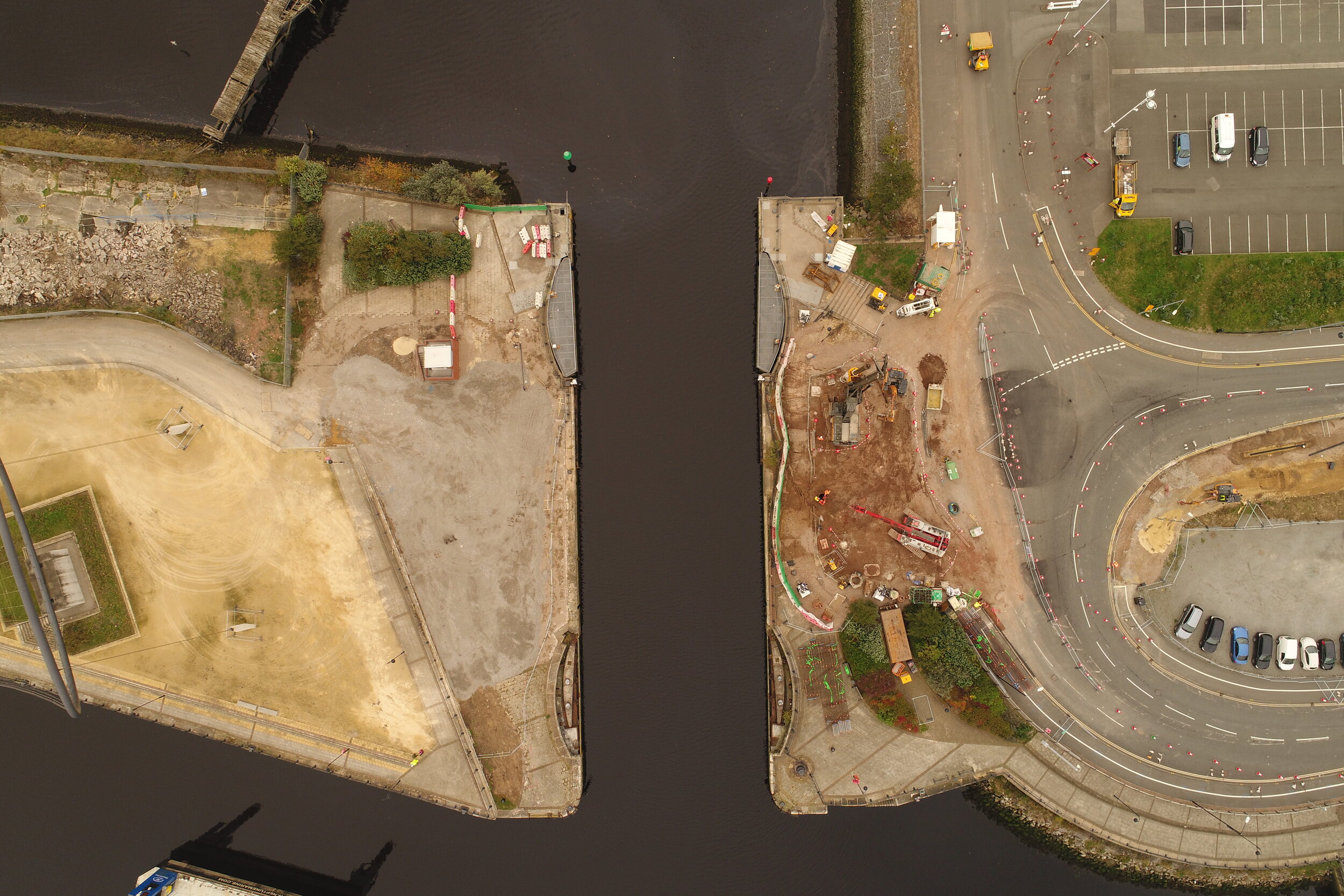
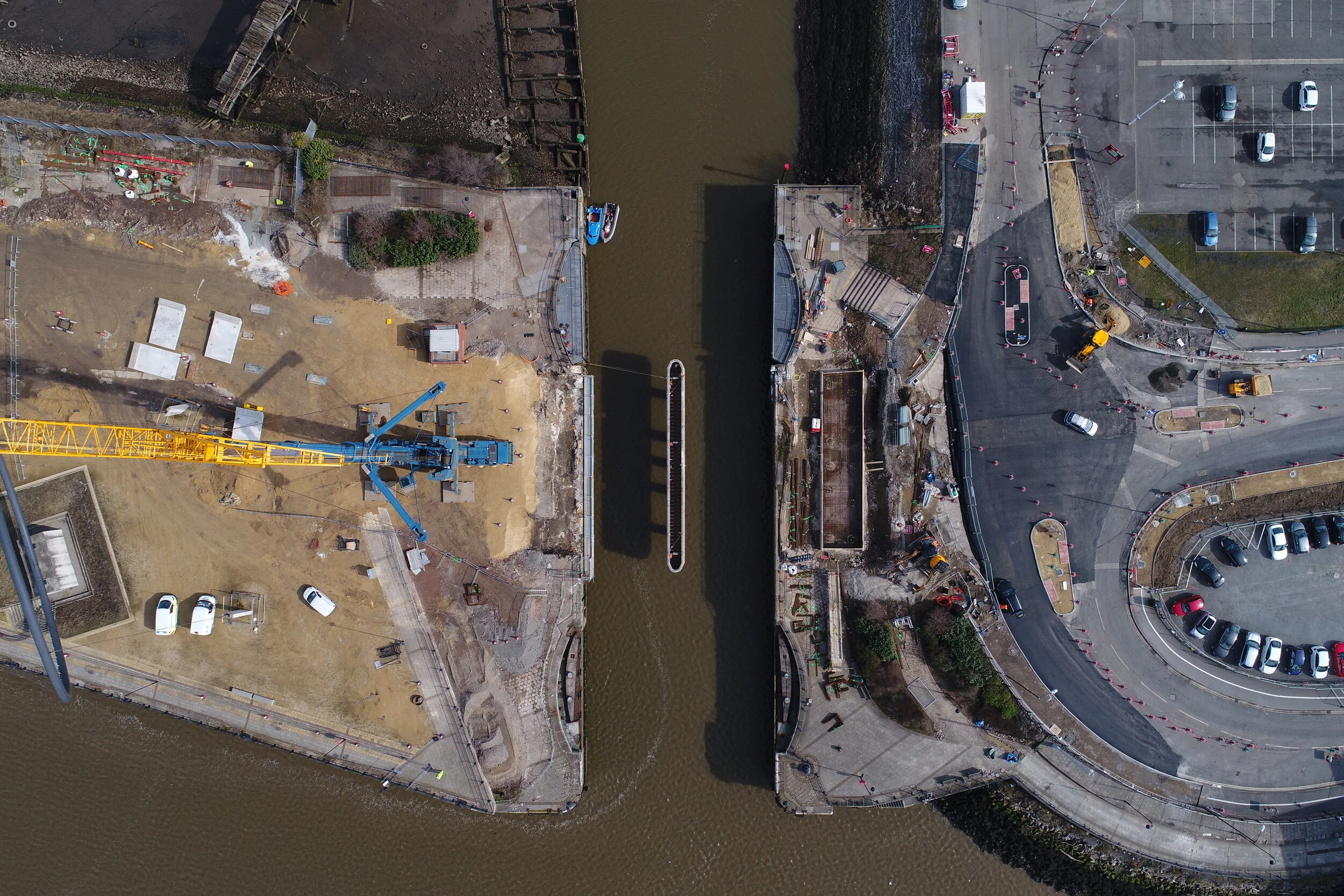
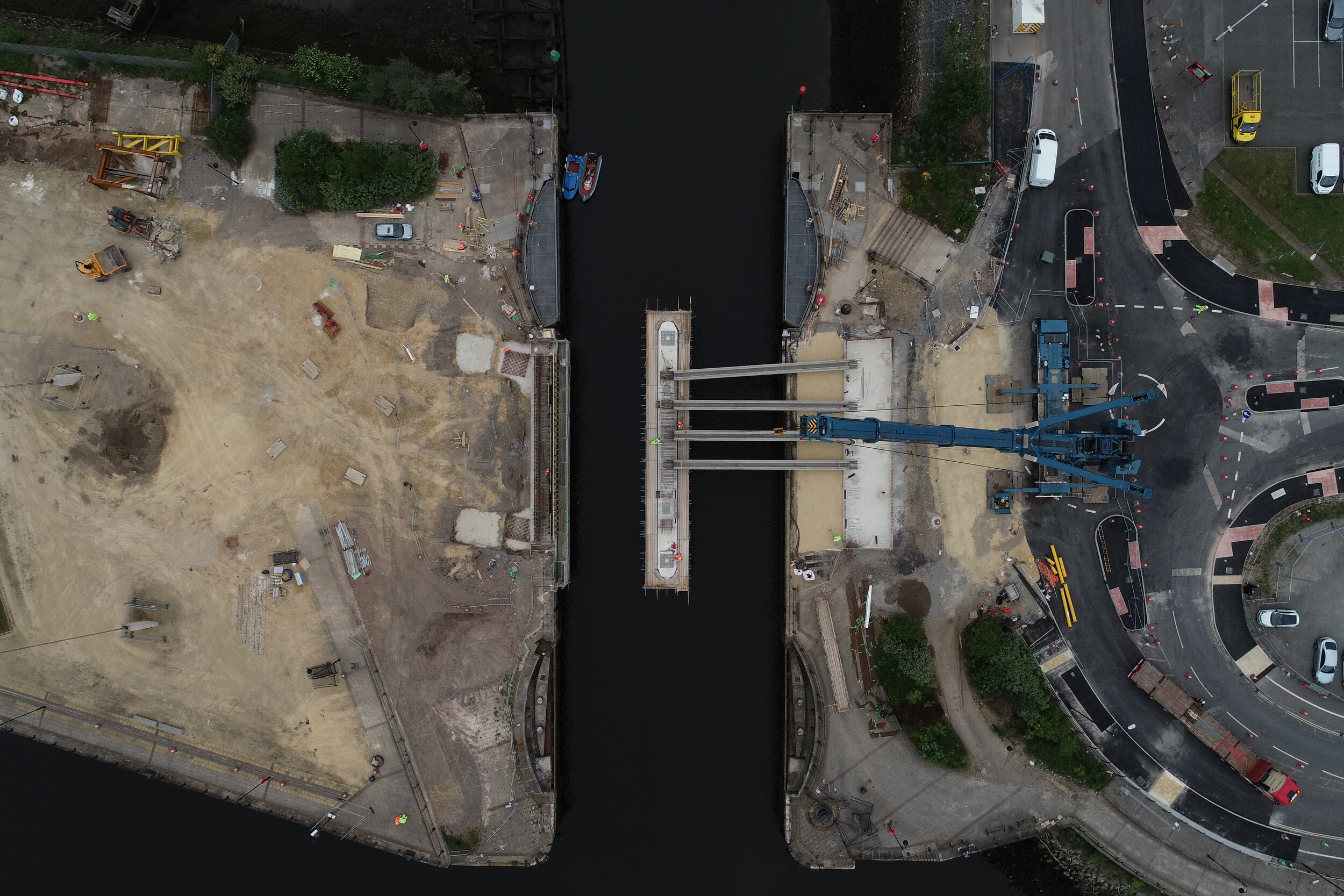
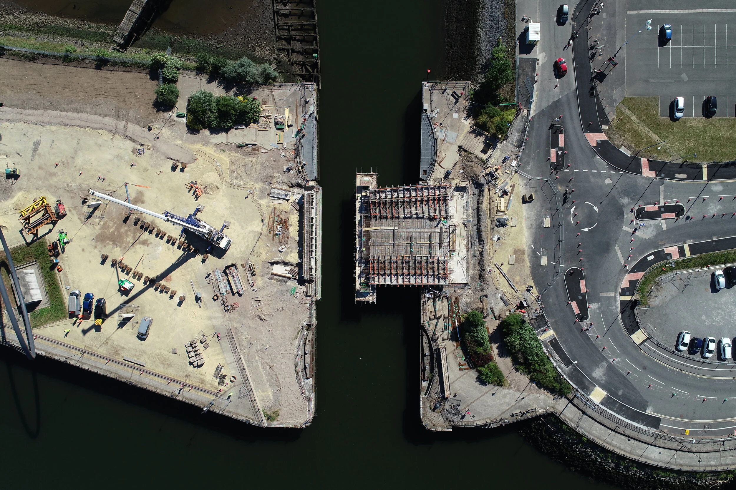
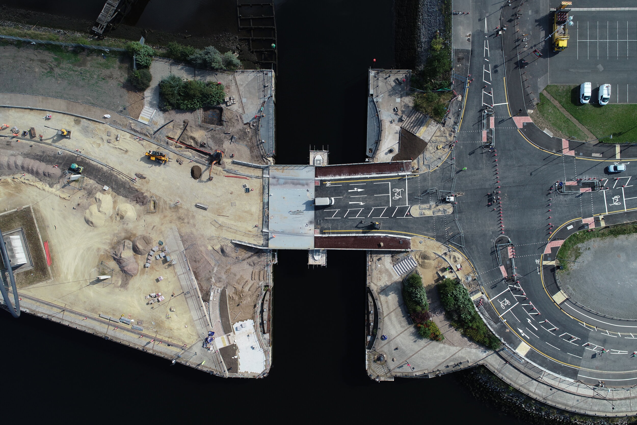
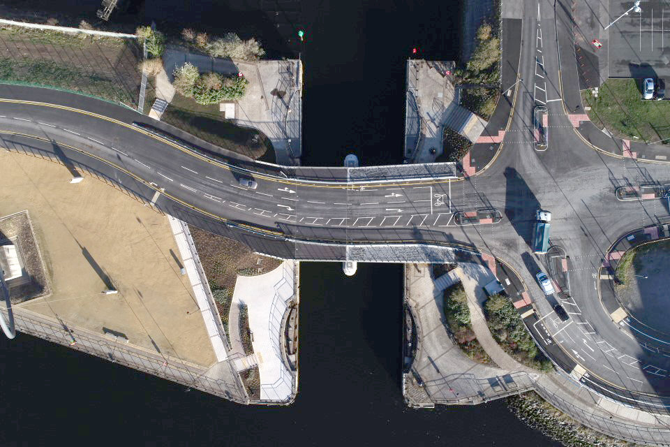
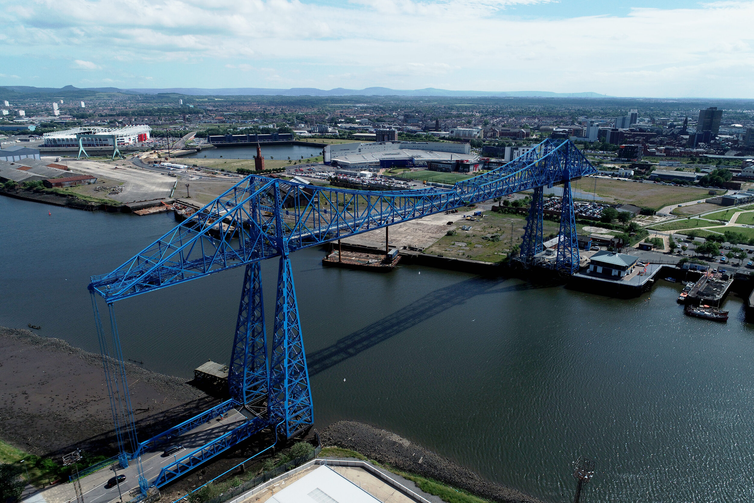
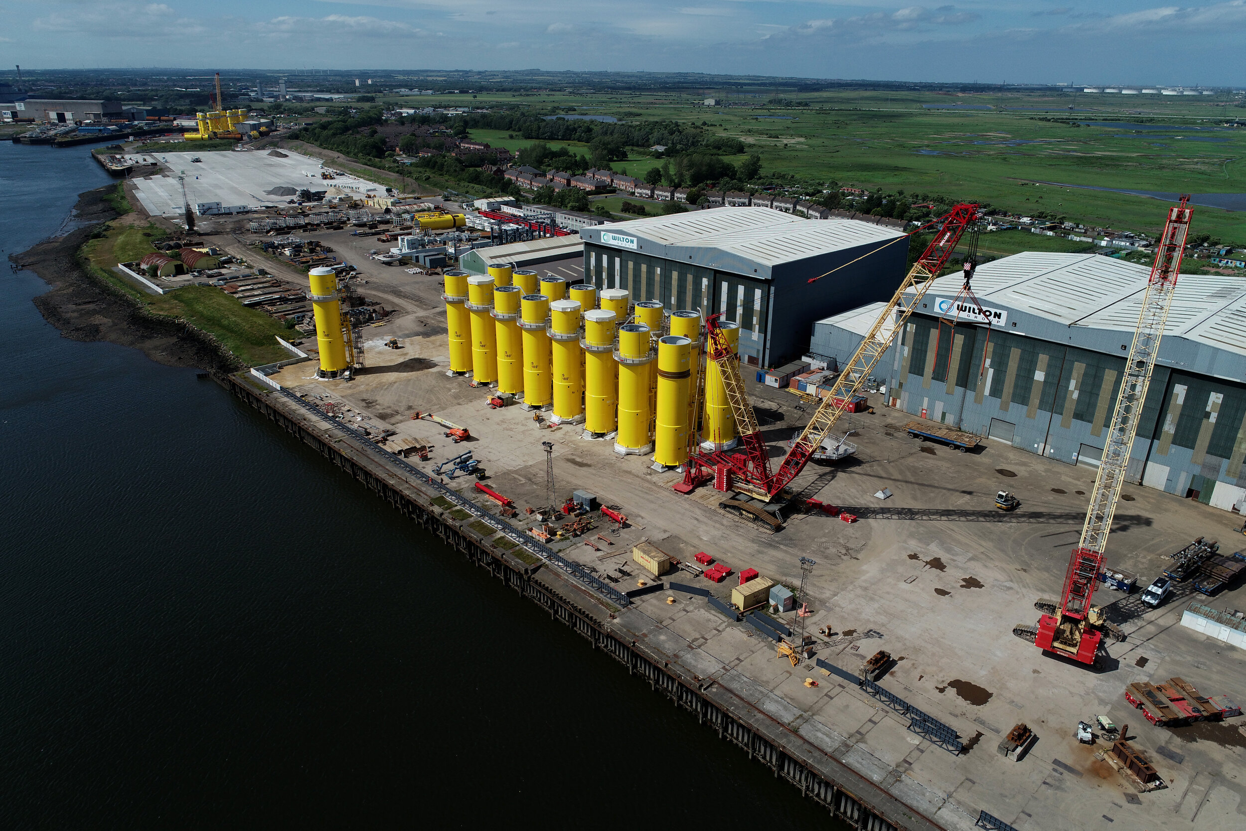
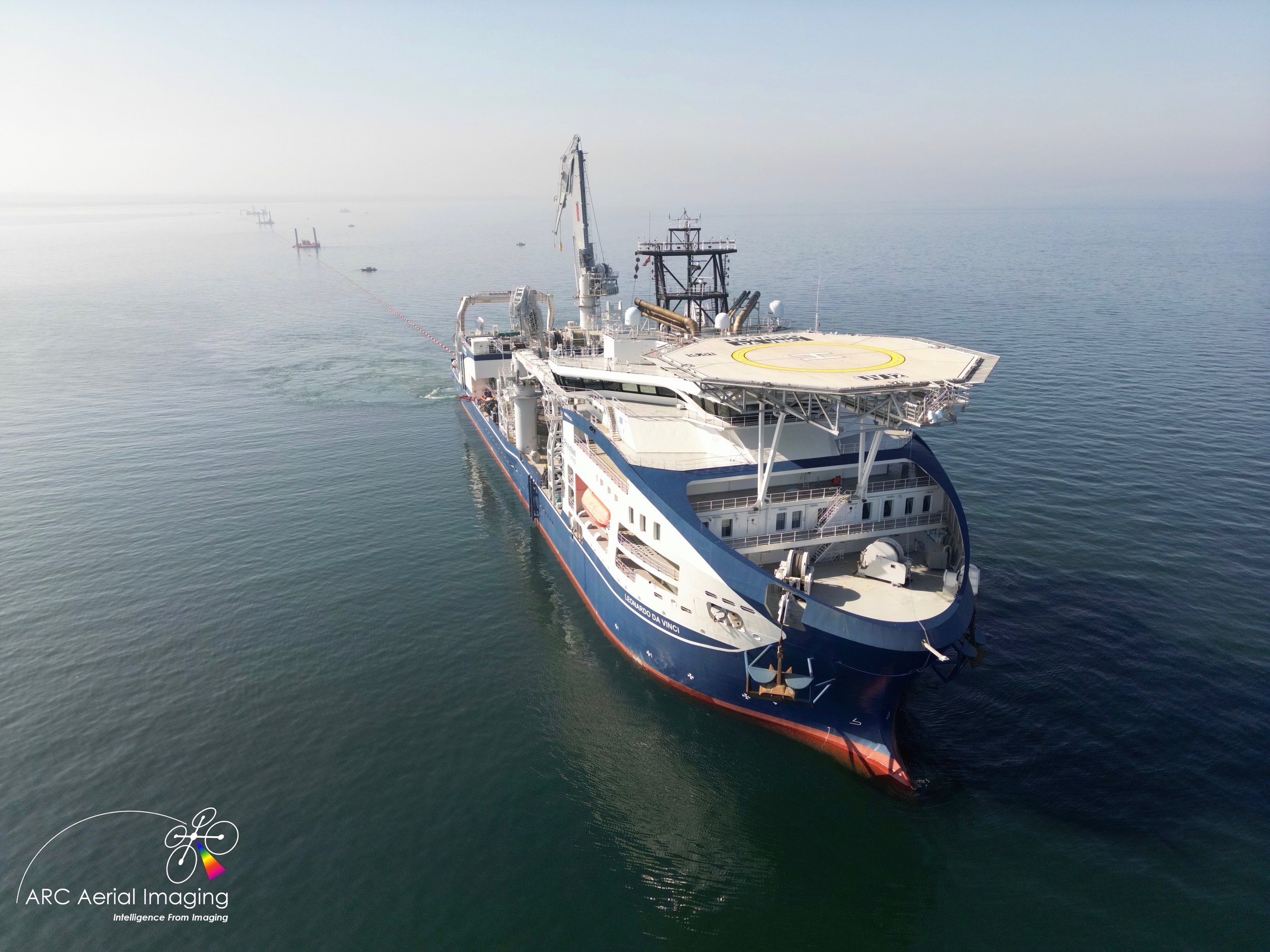
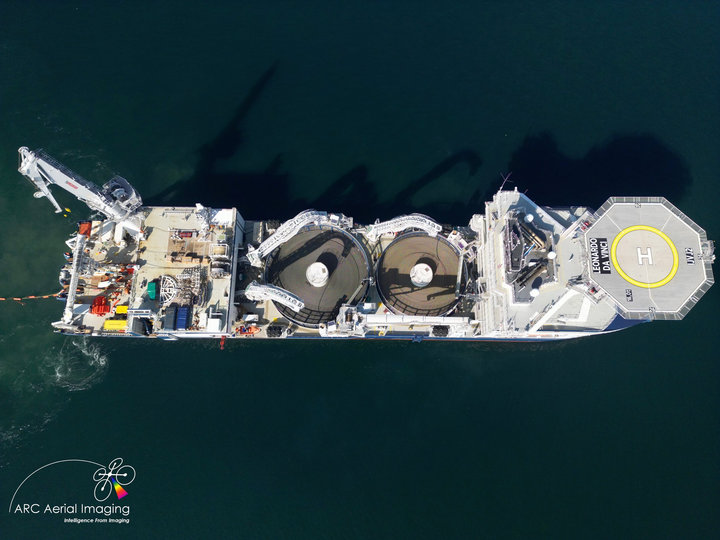
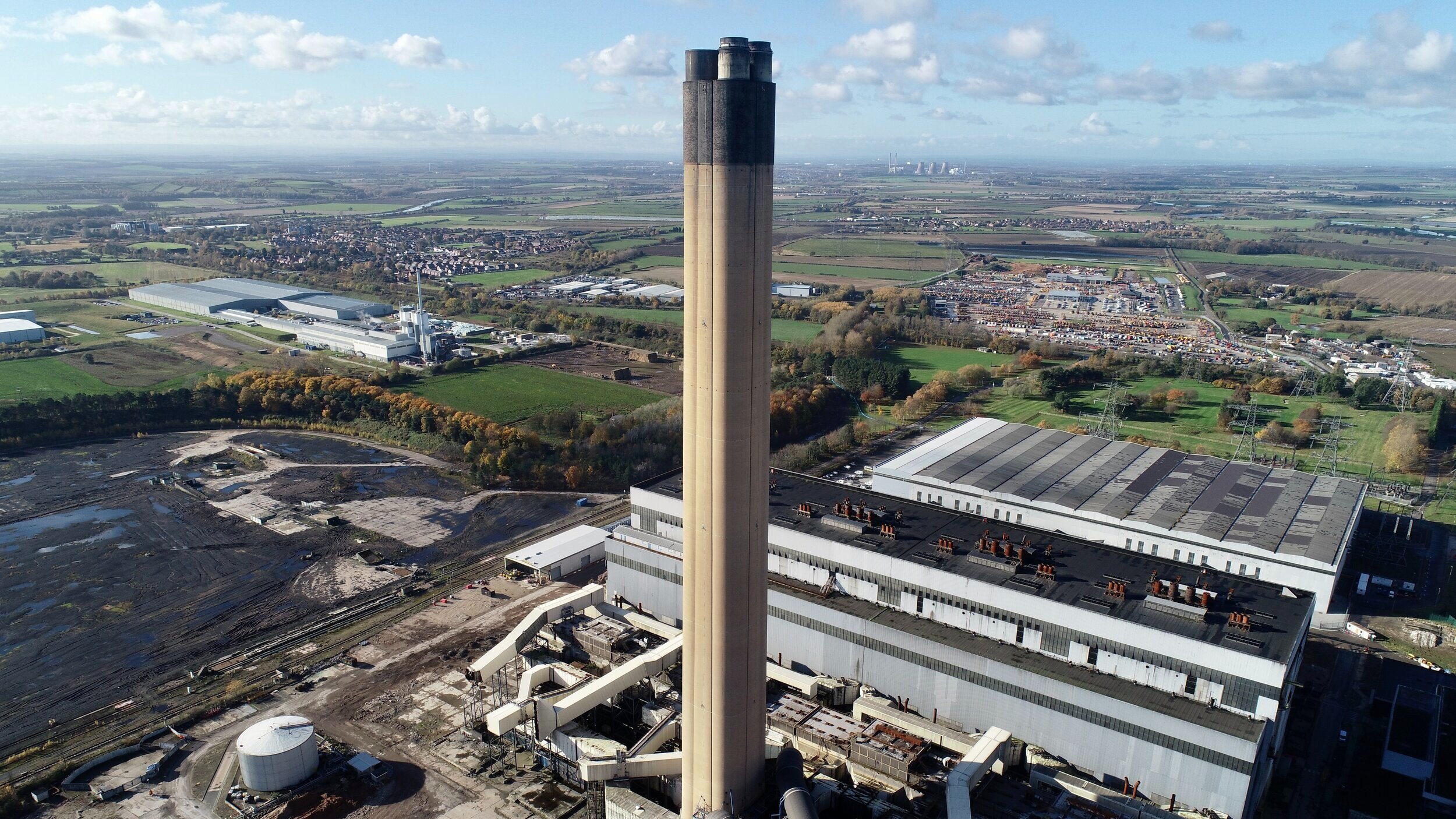
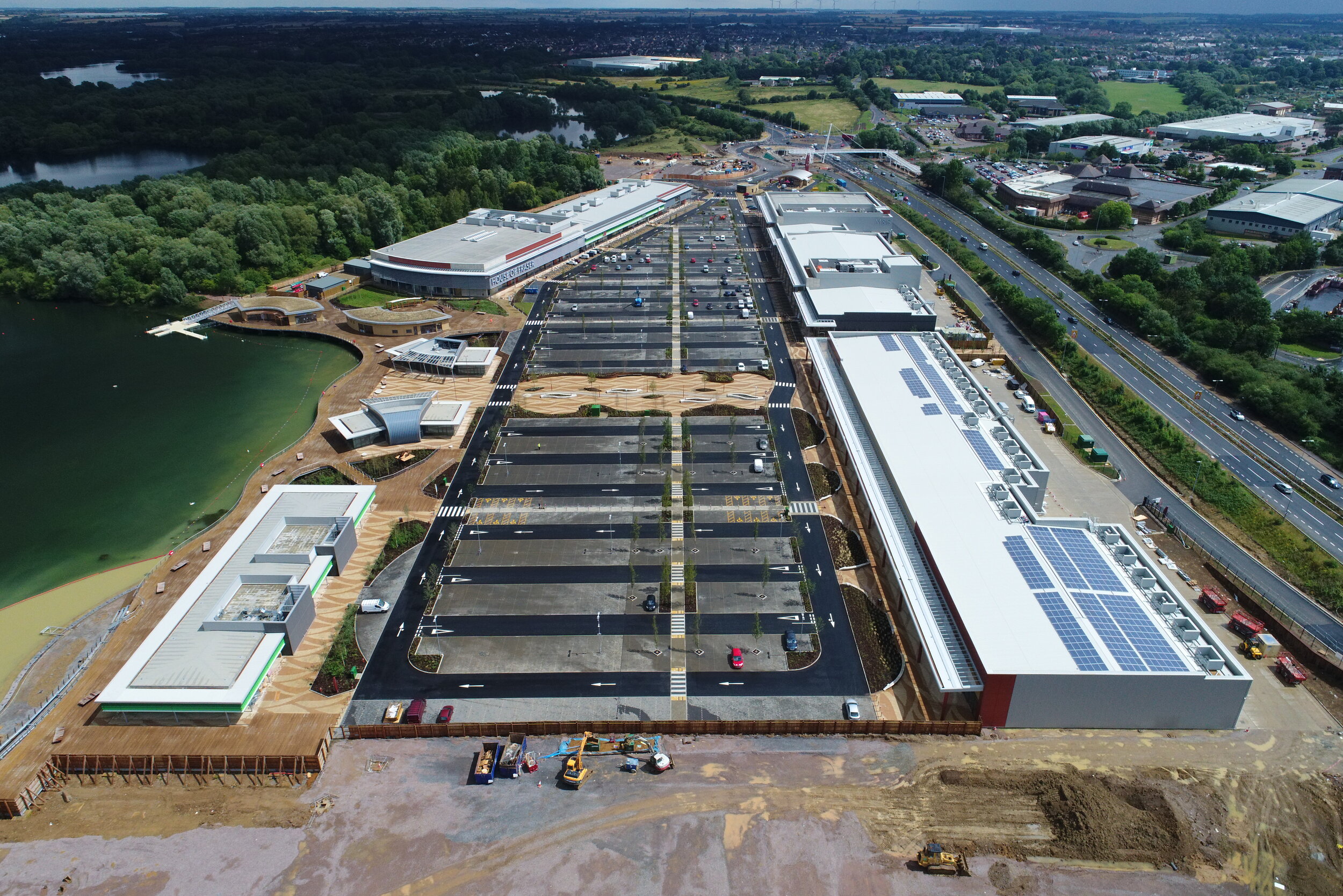
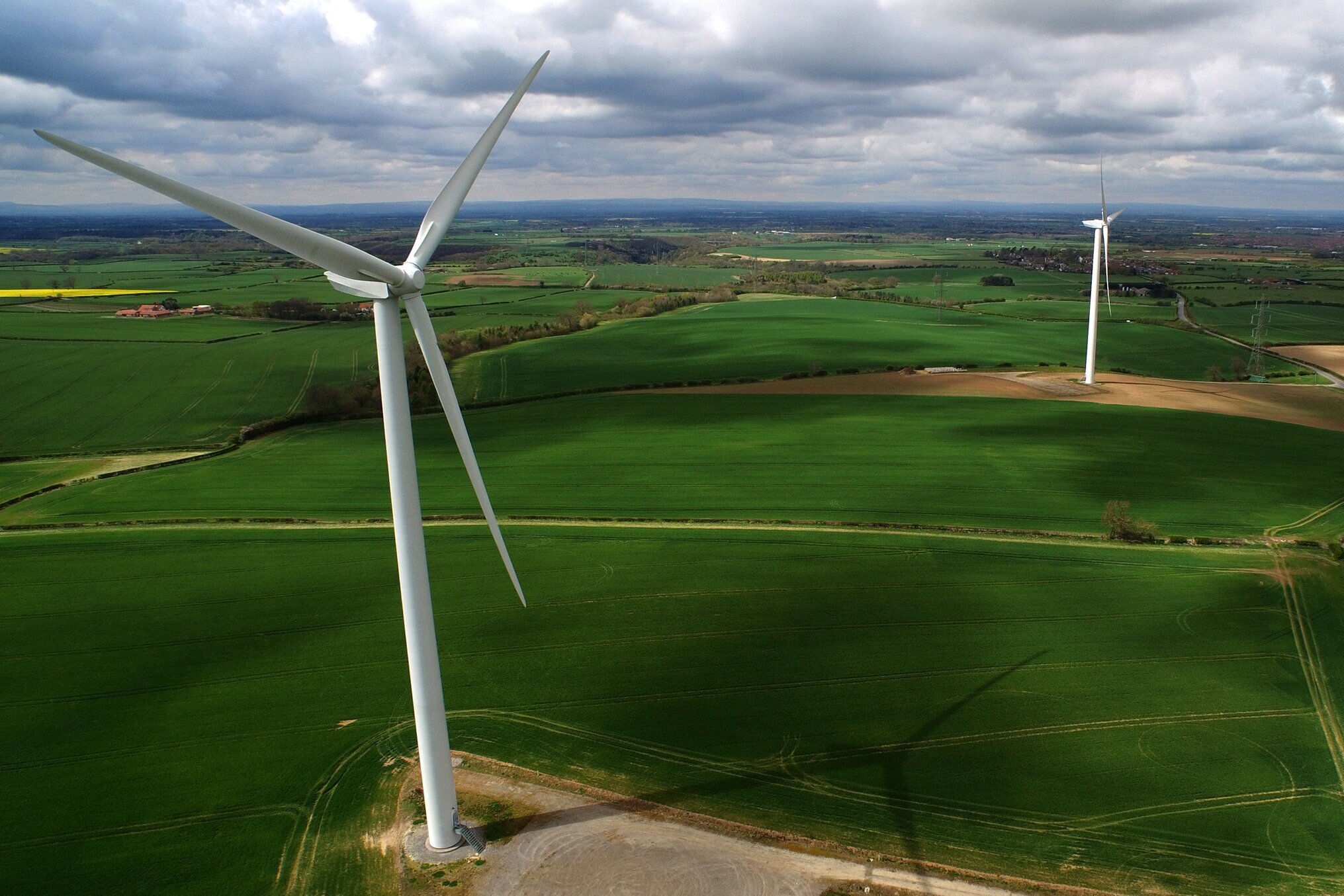
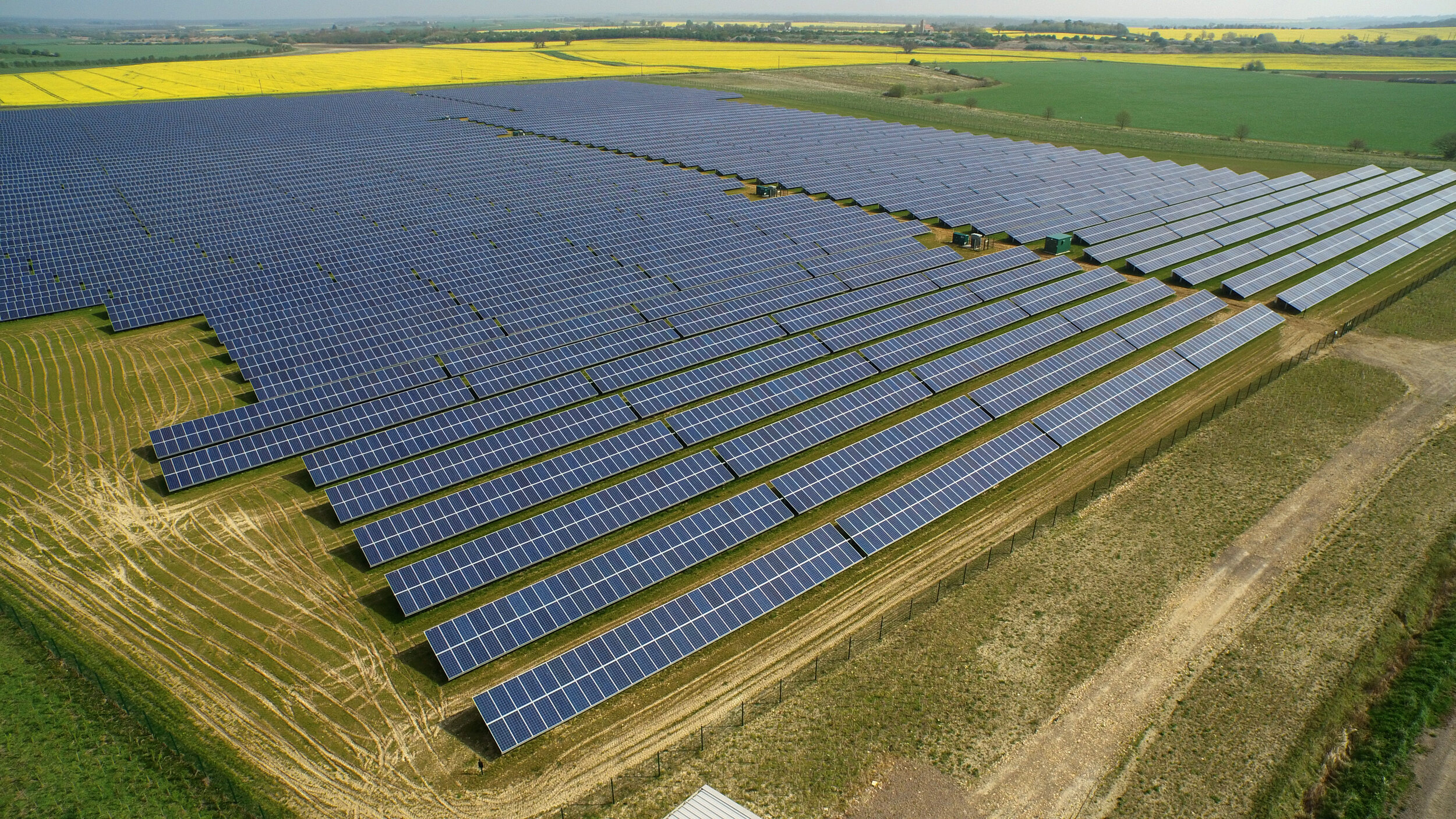
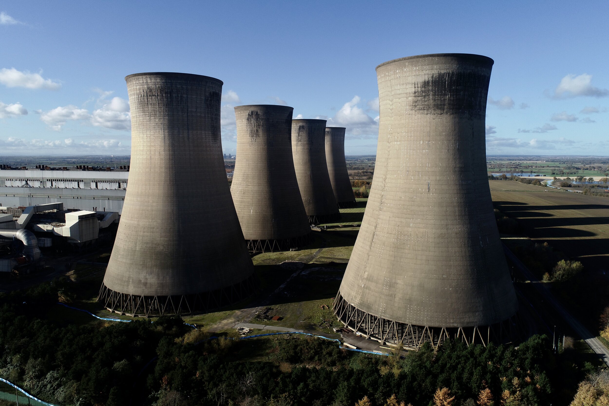
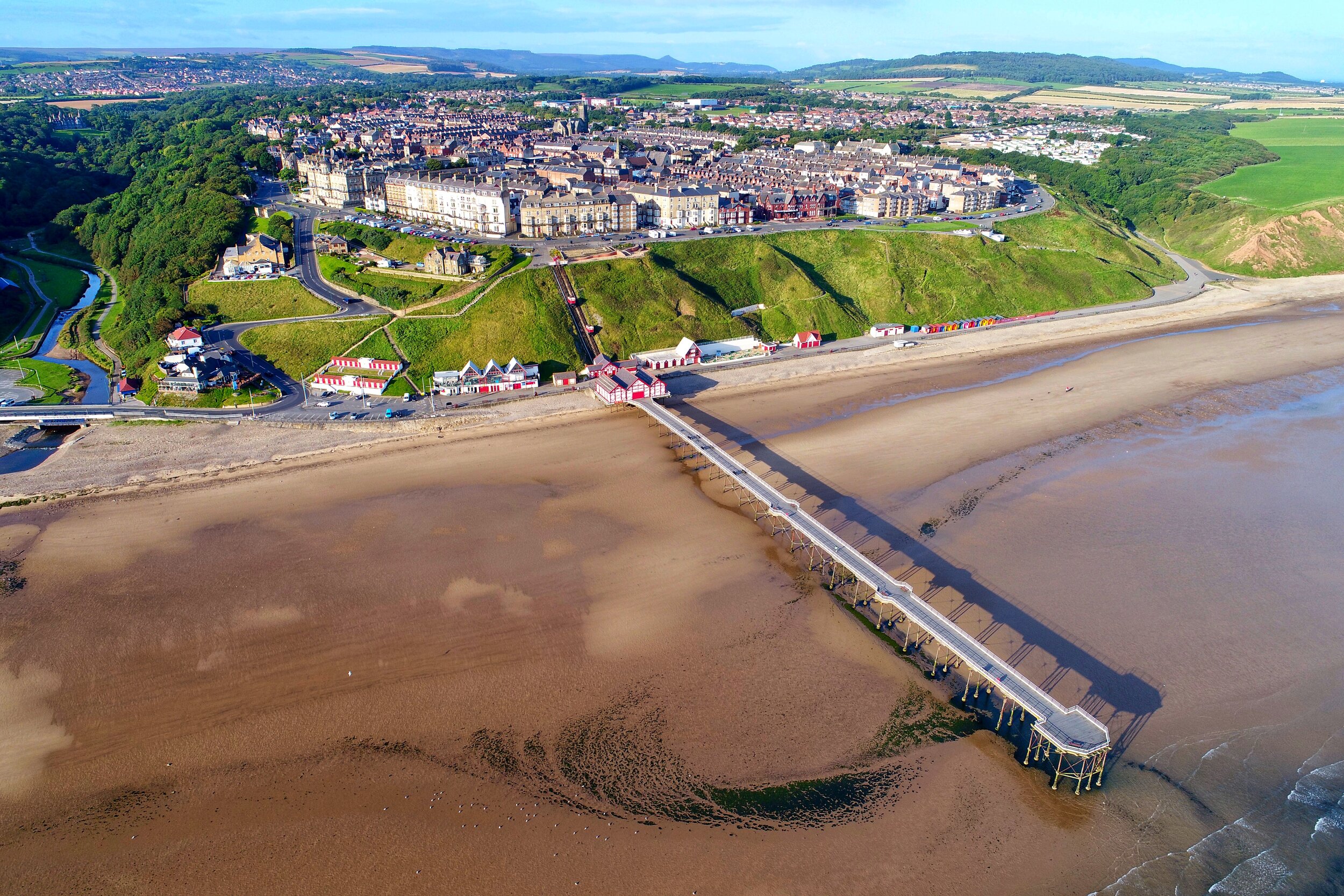
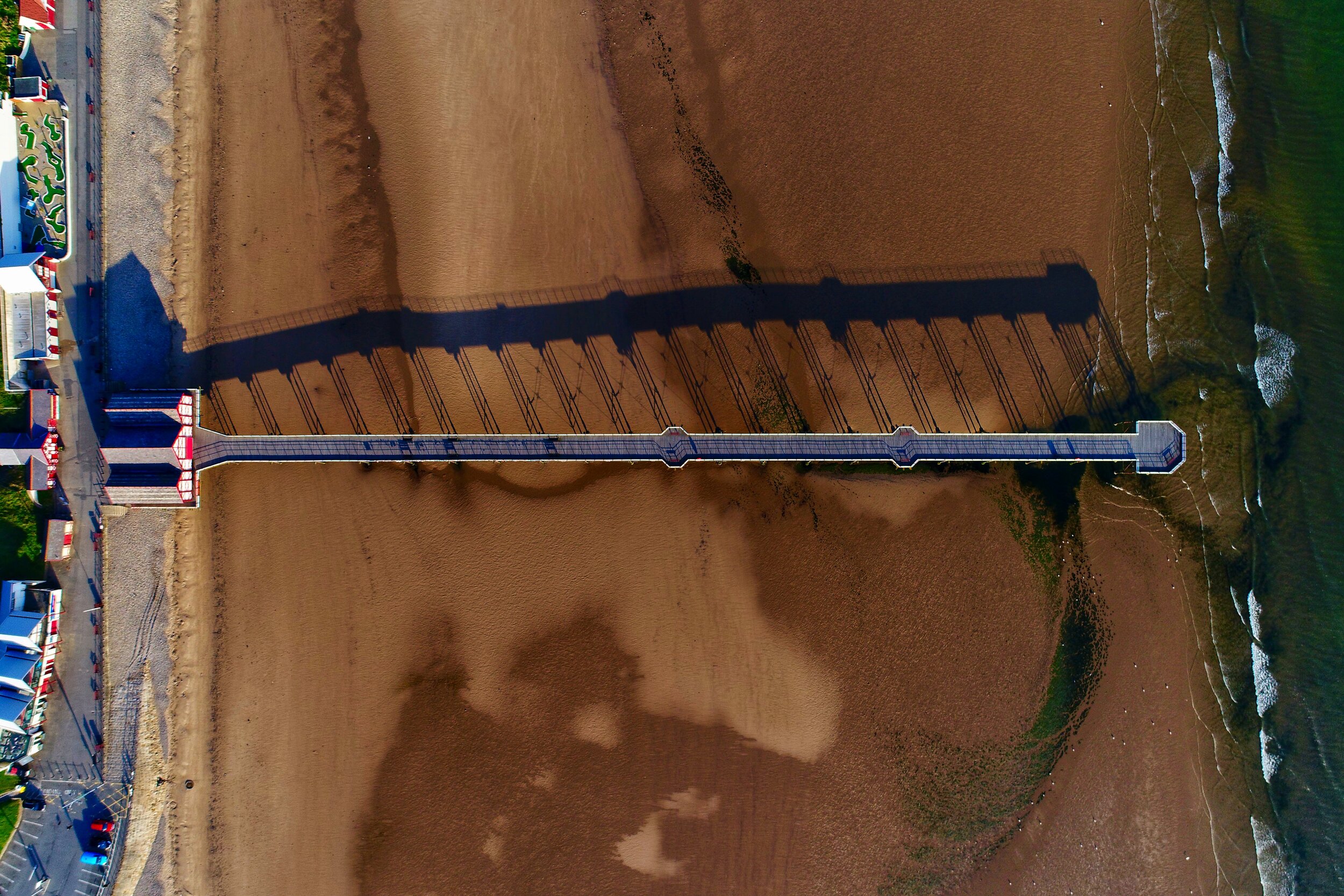
We’re in the business of producing ‘Intelligence from Imaging’ with UAV Aerial Sensing.
ARC Aerial Imaging is a complete professional and specialised service which all stem from decades of accredited subject matter knowledge and expertise with many forms of aerial imaging and processed geodata.


Trusted by some award winning organisations…


We’re also THE leading national training provider in commercial UAV aerial imaging for mapping, surveying and photogrammetry applications…
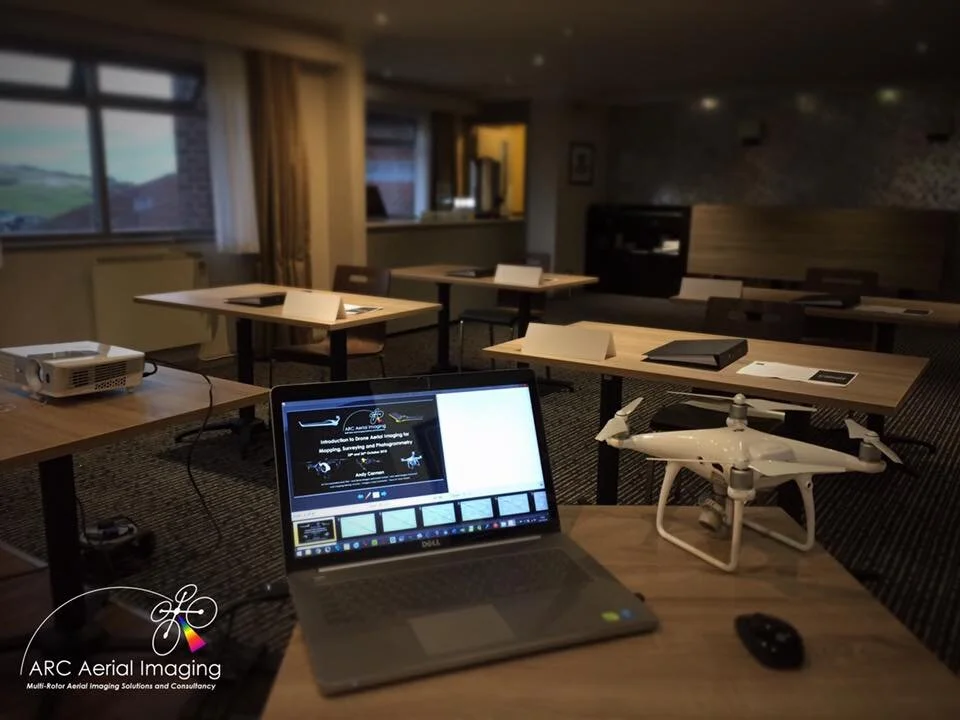
ARC Aerial Imaging has been providing an industry-leading ‘Phase 2’ UAV course in aerial imaging for mapping, surveying and photogrammetry applications with UAVs training other commercial UAV operators and operating entities.
This UAV business development course is professionally delivered by a tutor with 30 years of accredited subject matter expertise and who is also a highly-experienced commercial practitioner in the field of topographic mapping and surveying with UAVs. Through a combination of understanding the important fundamentals of aerial imaging, knowing how to accurately plan to autonomously collate high quality aerial imaging and spatial data along with the importance of gathering precise point positioning information with RTK GNSS equipment in order to produce survey-compliant geospatial datasets, this second to none course prepares its attendees to apply their UAV platforms and their sensing more efficiently, effectively and precisely in commercial mapping, surveying and photogrammetry applications.
For more details about the course click here including reviewing some of its testimonials that have been given from past course alumni.